


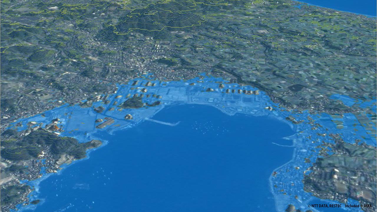
NTT Data Corporation and the Remote Sensing Technology Center of Japan (RESTEC) announced February 24 that they will start distribution of a digital 3D map of the entire world developed from satellite images. 5-meter resolution models precisely expressing undulations can be used for various purposes such as infrastructure planning, natural disaster projection and site investigation for water resources. The two companies will offer the data one by one when they are ready, planning to complete it by March 2016.
3 million images taken by the satellite "DAICHI" (ALOS) 1 of the Japan Aerospace Exploration Agency (JAXA) are processed to the world’s most precise 3D map covering all the land area of the earth. The digital data is provided for 200 yen per square kilometer. (2014/02/25)